
Science Olympiad Geologic Mapping Practice Test
$69.00
- Buy to unlock unlimited access to all Quiz questions.
- After purchase you can print a PDF of the whole quiz at any point. The PDF will contain the questions and the correct answers.
About this Exam
The Science Olympiad Geologic Mapping event challenges students to interpret and analyze geologic maps and data, simulating the work of a professional geologist in the field. This competition tests a competitor's ability to synthesize spatial information, understand three-dimensional structures, and construct geologic history based on graphical evidence. It is primarily designed for high school students with a strong interest in Earth science, physical geology, and analytical problem-solving. This practice exam is the ideal preparation tool for those competing in Regional, State, or National Science Olympiad tournaments, offering a realistic preview of the concepts and challenges they will encounter.
Ready to test your knowledge?
Buy Now to Access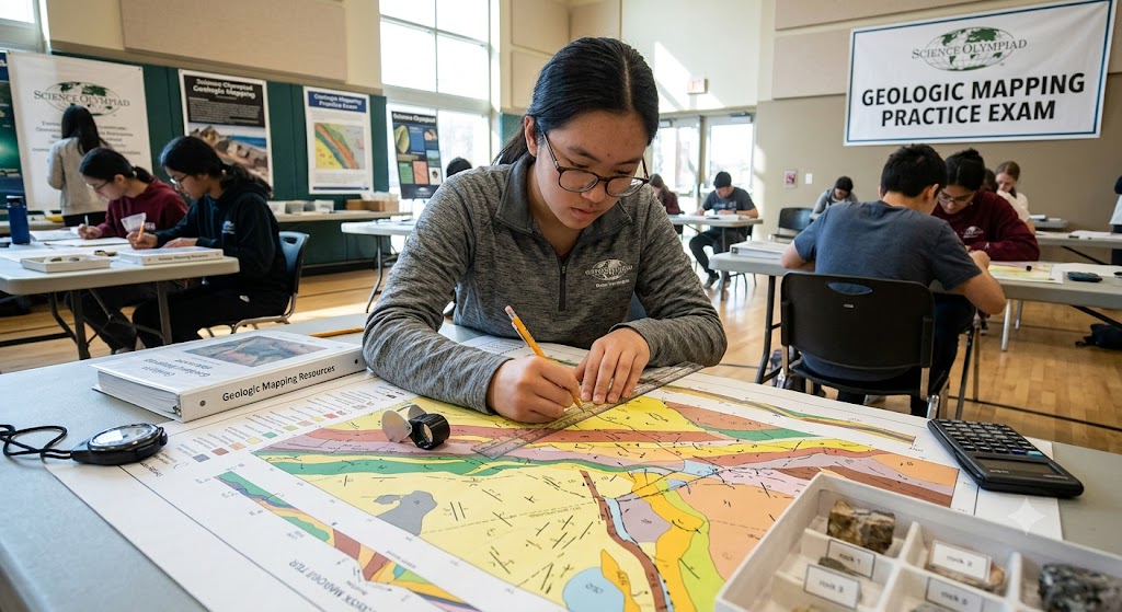
Additional Information
What the Course Entails and Exam Details
While not a traditional "course," the material covered by the Geologic Mapping event requires extensive preparation. Students must master the fundamentals of physical geology, including rock types, geological time scales, the formation of geological structures, and the principles of plate tectonics. The exam focuses heavily on interpreting data rather than just rote memorization. Core skills tested include reading and creating geologic cross-sections, calculating strike and dip values from provided data, interpreting fold and fault geometries, understanding unconformities, and utilizing stereographic projections (stereonets) for structural analysis.
What to Expect in the Final Exam
In the final competition setting, the exam is typically a physical or digital test taken by a team of two students. It features a mix of multiple-choice questions, short-answer analytical problems, and required practical tasks, such as sketching a cross-section on provided graph paper based on a map. Teams must be prepared for a rigorous time limit, usually 50 minutes, requiring efficient collaboration. There is no predetermined "passing score" for this competition; rather, teams are ranked based on their total points relative to all other teams competing in their tournament. Strict rules govern the materials allowed during the test, usually limited to non-programmable calculators, basic drawing tools (pencils, protractors, rulers), and a specific amount of reference material (the "binder rule"), which differs slightly each year based on division and official rules updates.
How to Study and Exam Centers
The most effective way to study is through active practice. Students should obtain past Science Olympiad tests, utilize textbooks like Earth: An Introduction to Physical Geology, and actively practice drawing cross-sections by hand. Utilizing online resources from previous tournaments and state science academies is essential. It is highly recommended that students build a dynamic reference binder that prioritizes information they find hardest to recall, focusing on charts of geologic time, structural symbols, and equations rather than just copying definitions. The "Exam Centers" are the host facilities for the regional, state, and national tournaments, often located at universities, colleges, or large high schools throughout the country. Team registration and participation are coordinated through the official Science Olympiad national and state websites.
Job Opportunities from the Course
The skills honed through the Geologic Mapping event—spatial visualization, data analysis, structural interpretation, and critical thinking—are directly applicable to a wide range of professional careers in the geosciences.
Petroleum Geologist
Mining Geologist
Geological Engineer
Environmental Consultant
Geotechnical Engineer
Hydrogeologist
Field Geologist for State or Federal Surveys
GIS Specialist
Seismologist
Cartographer
Frequently Asked Questions
Reviews
5.0
Based on 0 reviews
Leave a Review
No reviews yet. Be the first to review!